Close
- Cartas y Publicaciones
-
Industria Naval

-
Náutica

-
Industria Terrestre

-
Equipos p/ puertos

- Proteção Covid-19
- Sobre Nós
- Novidades
- Marcas
- Contactos
- Serviços
- Articles
Menu
(0)
items
You have no items in your shopping cart.
Catálogo
Menu
Carrinho de Compras
Filters
Personal menu
Preferencias
Procurar
- Home /
- Cartas y Publicaciones /
- Publicações /
- Weather, Atlas & Maps
Weather, Atlas & Maps
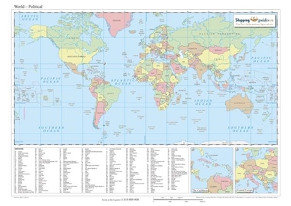
Countries Map
Solicitar Preço
This map depicts the countries of the world and includes:
• Inset maps of Central Europe and the Caribbean
• All country abbreviations
• Latitude and longitude graticules
• The Equator
• Tropics of Capricorn and Cancer
• International Date Line
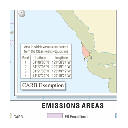
Emissions Regulations
Solicitar Preço
This map provides a brief outline of the fuel sulphur content regulations promulgated by California, China and the EU.
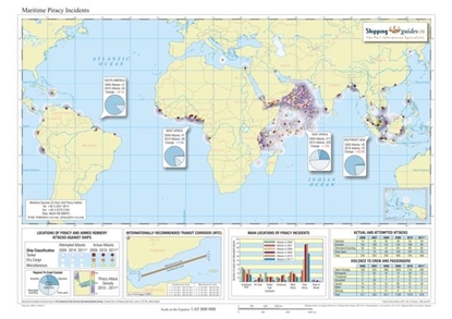
Maritime Piracy Incidents Map
Solicitar Preço
An analysis of all the maritime piracy and armed robbery incidents reported to the IMB Piracy Reporting Centre from 2015 to June 2017.
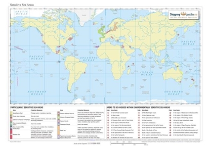
Sensitive Sea Areas
Solicitar Preço
Colour-coding and numbering is used to illustrate the 14 particularly sensitive sea areas, including the recently added South-west Coral Sea Extension and Jomard Entrance particularly sensitive sea areas.
Notes depicting their required protective measures are also provided as defined by the International Maritime Organisation (IMO).
Also shown are areas to be avoided including the recently added Aleutian Island Archipelago.
Weather, Atlas & Maps
Apoio ao Cliente
Área Reservada
Contactos
- Praceta Augusto Dias Silva, 94 2B 2785-521 Sao Domingos de Rana
- info@jgarraio.pt
- Tel.: +351 213 473 081

Copyright © 2024 JGARRAIO. Todos os direitos reservados.
As fotos apresentadas podem não corresponder as configurações descritas.
Preços e especificações sujeitos a alteração sem aviso prévio.
A J. Garraio declina qualquer responsabilidade por eventuais erros publicados no site.
As fotos apresentadas podem não corresponder as configurações descritas.
Preços e especificações sujeitos a alteração sem aviso prévio.
A J. Garraio declina qualquer responsabilidade por eventuais erros publicados no site.
Todos os preços incluem IVA. Exclui o valor dos portes de envio.
Powered by nopCommerce
Desenvolvido pela Agência PRIMEWAY - Plataformas Digitais • Design • Marketing Digital
