Close
- Cartas e Publicações
-
Indústria Naval

-
Náutica

-
Indústria Terrestre

-
Equipamentos p/ portos

- Proteção Covid-19
- Sobre Nós
- Novidades
- Marcas
- Contactos
- Serviços
- Catálogos
Menu
(0)
items
You have no items in your shopping cart.
Catálogo
Menu
Carrinho de Compras
Filters
Personal menu
Preferencias
Procurar
- Home /
- Cartas e Publicações /
- Publicações /
- Seamanship & Navigation /
- Reeds Marine Distance Tables, 13th Edition
Produtos Relacionados
-
21st Century Seamanship, 2015
Solicitar Preço -
A Guide to the Collision Avoidance Rules, 7th Edition 2011
Solicitar Preço -
Basic Seamanship
Solicitar Preço -
Basic Ship Theory Volume 1, 5th Edition 2001
Solicitar Preço -
Basic Ship Theory Volume 2, 5th Edition 2001
Solicitar Preço -
Basic Ship Theory, Combined Volume, 5th Edition 2001
Solicitar Preço -
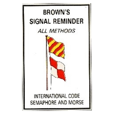
Brown Signal Reminder
Solicitar Preço -
Brown Signalling : How to learn the International Code of Signal
Solicitar Preço -
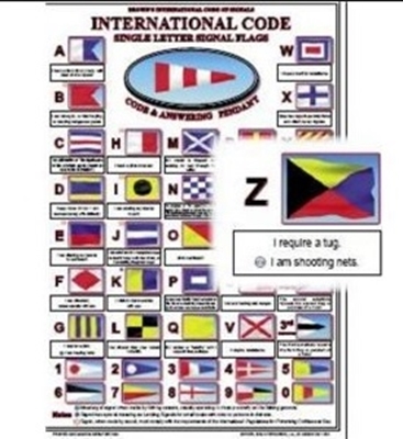
Brown´s International Code Of Signals Card
Solicitar Preço -
Brown's Flags and Funnels of Steamship Companies of the World
Solicitar Preço
Apoio ao Cliente
Área Reservada
Contactos
- Praceta Augusto Dias Silva, 94 2B 2785-521 Sao Domingos de Rana
- info@jgarraio.pt
- Tel.: +351 213 473 081

Copyright © 2024 JGARRAIO. Todos os direitos reservados.
As fotos apresentadas podem não corresponder as configurações descritas.
Preços e especificações sujeitos a alteração sem aviso prévio.
A J. Garraio declina qualquer responsabilidade por eventuais erros publicados no site.
As fotos apresentadas podem não corresponder as configurações descritas.
Preços e especificações sujeitos a alteração sem aviso prévio.
A J. Garraio declina qualquer responsabilidade por eventuais erros publicados no site.
Todos os preços incluem IVA. Exclui o valor dos portes de envio.
Powered by nopCommerce
Desenvolvido pela Agência PRIMEWAY - Plataformas Digitais • Design • Marketing Digital


