Admiralty Routeing Charts

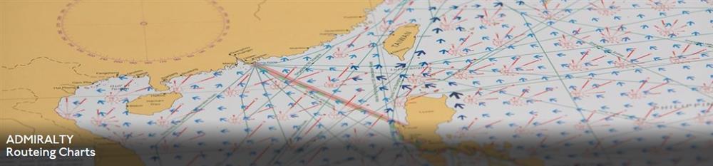
Essential for use in passage planning for ocean voyages, Routeing Charts include routes and distances between major ports, ocean currents, ice limits, load lines and wind roses. They also contain expected meteorological and oceanographic conditions for each month of the year.
Individual chart scales of 1:5,000,000, 1:10,000,000 and 1:20,000,000 to assist bridge crews in high-level route planning
Information including wind roses showing wind speed and direction, the frequency and intensity of storms and low pressure, ocean currents, sea and air temperatures, air pressure and ice limits based on data averages
Each charted area contains 12 separate charts for each calendar month, covering meteorological and oceanographic conditions that change throughout the year