Close
- Charts & Publications
-
Marine Industry

-
Recreational

-
Land Market

-
Harbour equipments

- Proteção Covid-19
- About Us
- Novidades
- Marcas
- Contacts
- Serviços
- Articles
Menu
(0)
items
You have no items in your shopping cart.
All Categories
Menu
Shopping cart
Filters
Personal menu
Preferences
Search
- Home /
- Charts & Publications /
- Publications /
- Weather, Atlas & Maps /
- Lloyd's List Maritime Atlas 29 th Edition 2016
Related Products
-
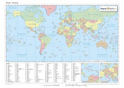
Countries Map
Call for pricing -
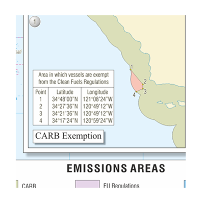
Emissions Regulations
Call for pricing -
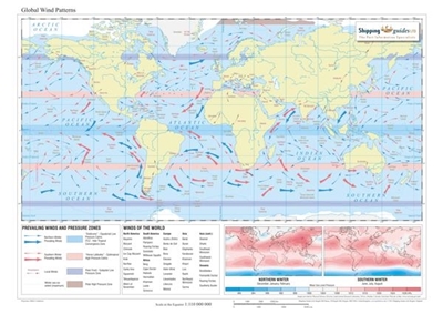
Global Wind Patterns Map
Call for pricing -
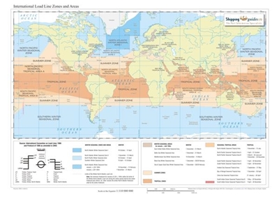
International Load Line Zones and Areas Map
Call for pricing -
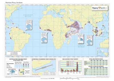
Maritime Piracy Incidents Map
Call for pricing -
Maritime weather and Climate
Call for pricing -
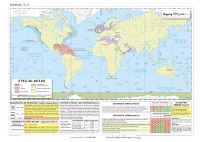
MARPOL 73/78 Map
Call for pricing -
Meteorology for Seafarers
Call for pricing -
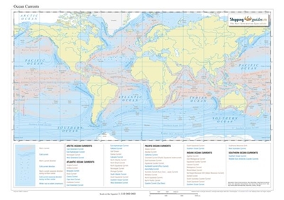
Ocean Currents Map
Call for pricing -
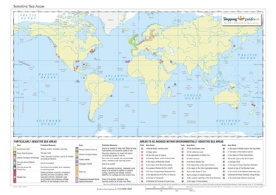
Sensitive Sea Areas
Call for pricing
Customer service
Contact Us
- Praceta Augusto Dias Silva, 94 2B 2785-521 Sao Domingos de Rana
- info@jgarraio.pt
- Tel.: +351 213 473 0810

Copyright © 2024 JGARRAIO. All rights reserved.
As fotos apresentadas podem não corresponder as configurações descritas.
Preços e especificações sujeitos a alteração sem aviso prévio.
A J. Garraio declina qualquer responsabilidade por eventuais erros publicados no site.
As fotos apresentadas podem não corresponder as configurações descritas.
Preços e especificações sujeitos a alteração sem aviso prévio.
A J. Garraio declina qualquer responsabilidade por eventuais erros publicados no site.
All prices are entered including tax. Excluding shipping
Powered by nopCommerce
Desenvolvido pela Agência PRIMEWAY - Plataformas Digitais • Design • Marketing Digital
