- Charts & Publications
-
Marine Industry

-
Recreational

-
Land Market

-
Harbour equipments
- Proteção Covid-19
- About Us
- Novidades
- Marcas
- Contacts
- Serviços
- Articles
- Home /
- Recreational /
- Electronics /
- Chartplotters /
- Lowrance
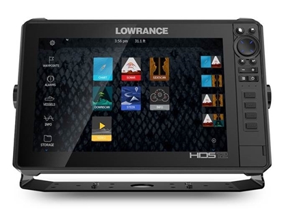
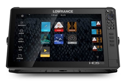
Lowrance
Um favorito claro entre os velejadores em todo o mundo.

Whether tracking the coastline in your favorite boating area, previewing the depth contours in an upcoming location or charting a complex course around sunken islands at night, the chartplotter is an invaluable tool to help you navigate safely. Growing in popularity among many fresh and saltwater boaters, the multifunctional display, which also connects and overlays data from other navigational aids such as radar, VHF radio or the Automatic Identification System (AIS), gives you all the tools you need to confidently travel on any body of water with a clear understanding of bathymetric data, underwater structure, coastline detail and collision avoidance.
Lowrance’s award-winning chartplotters and multifunction displays are well-known for their ease of use, brilliant screens and fast performance. From the open oceans to inland lakes, a Lowrance chartplotter is a clear favorite among boaters worldwide..
Lowrance chartplotters feature a variety of display sizes and price options to best fit your needs.
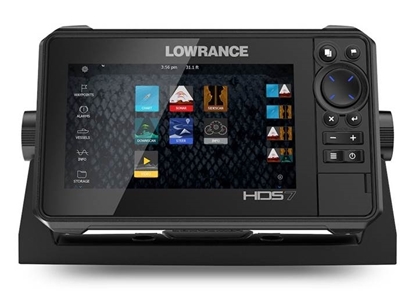
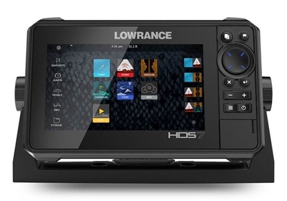
HDS LIVE 7 - no Transducer
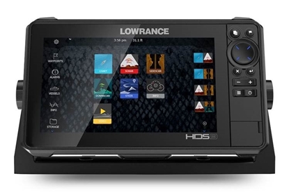
HDS LIVE 9 - no Transducer
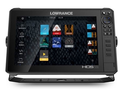
HDS LIVE 12 - no Transducer
HDS LIVE 16 - no Transdutor
HDS LIVE 7 Active Imaging 3-in-1
HDS LIVE 9 Active Imaging 3-in-1
HDS LIVE 12 Active Imaging 3-in-1
HDS LIVE 16 Active Imaging 3-in-1
Lowrance
- Praceta Augusto Dias Silva, 94 2B 2785-521 Sao Domingos de Rana
- info@jgarraio.pt
- Tel.: +351 213 473 0810

As fotos apresentadas podem não corresponder as configurações descritas.
Preços e especificações sujeitos a alteração sem aviso prévio.
A J. Garraio declina qualquer responsabilidade por eventuais erros publicados no site.
Desenvolvido pela Agência PRIMEWAY - Plataformas Digitais • Design • Marketing Digital
