Close
- Cartas y Publicaciones
-
Industria Naval

-
Náutica

-
Industria Terrestre

-
Equipos p/ puertos

- Proteção Covid-19
- Sobre Nós
- Novidades
- Marcas
- Contactos
- Serviços
- Articles
Menu
(0)
items
You have no items in your shopping cart.
Catálogo
Menu
Carrinho de Compras
Filters
Personal menu
Preferencias
Procurar
- Home /
- Náutica /
- Electrónica marítima /
- Cartas digitais /
- Garmin /
- Bluechart G3 VISION MAPS /
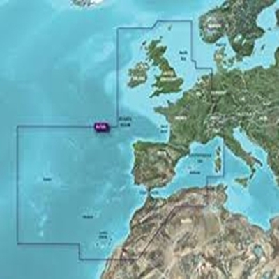
- África Ocidental, Açores, Ilhas Canárias (VAF 003R)
Produtos Relacionados
-
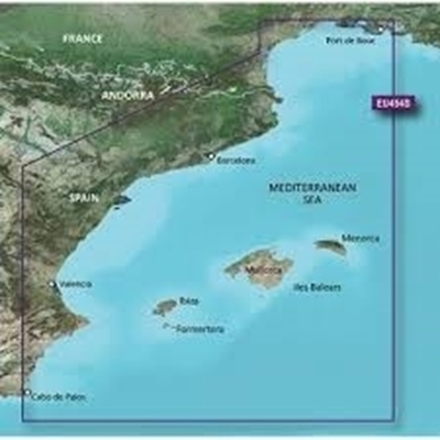
Catalunha, Valência, Baleares (VEU 454S)
Solicitar Preço -
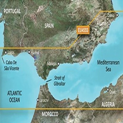
Denia, Cabo de São Vicente (VEU 455S)
Solicitar Preço -
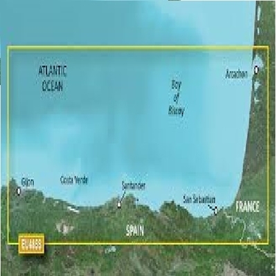
Fuenterrabía, Gijón (VEU 485S)
Solicitar Preço -
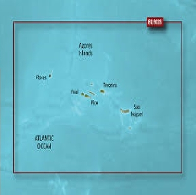
Ilhas Açores (VEU 502S)
Solicitar Preço -
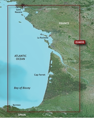
La Baule-San Sebastián (VEU465S)
Solicitar Preço -
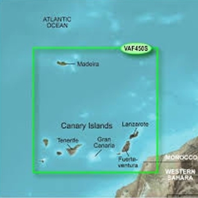
lhas Canárias e Madeira (VAF 450S)
Solicitar Preço -
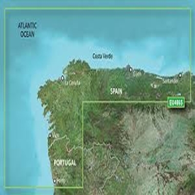
Porto, Santander (VEU 486S)
Solicitar Preço -
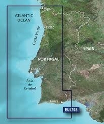
Portugal (VEU 479S)
Solicitar Preço -
Europa Costa Atlântica (VEU722L)
Solicitar Preço -
Mediterrâneo - Península Ibérica (VEU723L)
Solicitar Preço
Apoio ao Cliente
Área Reservada
Contactos
- Praceta Augusto Dias Silva, 94 2B 2785-521 Sao Domingos de Rana
- info@jgarraio.pt
- Tel.: +351 213 473 081

Copyright © 2024 JGARRAIO. Todos os direitos reservados.
As fotos apresentadas podem não corresponder as configurações descritas.
Preços e especificações sujeitos a alteração sem aviso prévio.
A J. Garraio declina qualquer responsabilidade por eventuais erros publicados no site.
As fotos apresentadas podem não corresponder as configurações descritas.
Preços e especificações sujeitos a alteração sem aviso prévio.
A J. Garraio declina qualquer responsabilidade por eventuais erros publicados no site.
Todos os preços incluem IVA. Exclui o valor dos portes de envio.
Powered by nopCommerce
Desenvolvido pela Agência PRIMEWAY - Plataformas Digitais • Design • Marketing Digital
